At the end of June 2012 I headed back to the Sierra Nevada. On the way I stopped to camp in the Mojave Preserve and to visit the Borate mine in Boron (the largest mine in CA and the source of 40% of the world's borates). It is a BIG hole in the ground.
| |
|---|
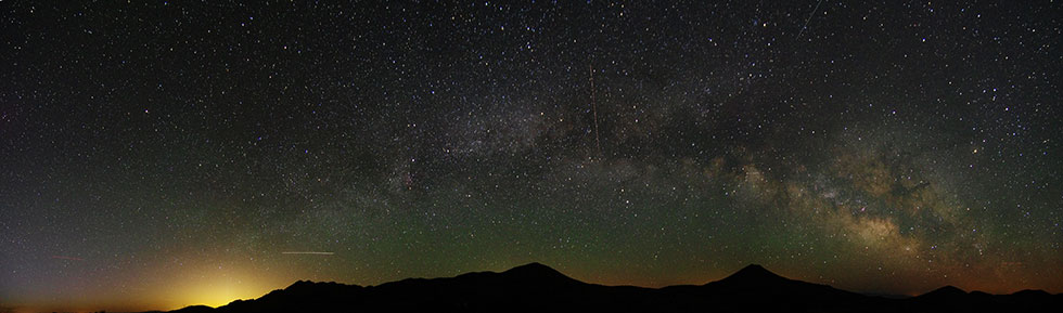
I got to Lone Pine in the afternoon and went to get a permit. There were no overnight permits for the Whitney zone available, but I got a day permit. I slept in the Alabama Hills and got up quite early to head up to Whitney Portal.
 |
|---|
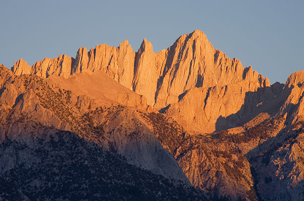
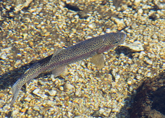
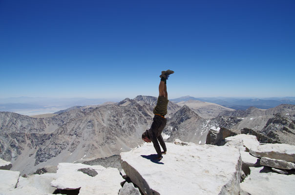
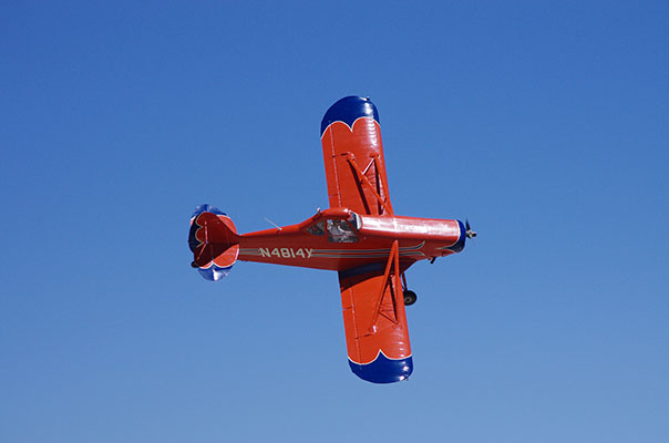
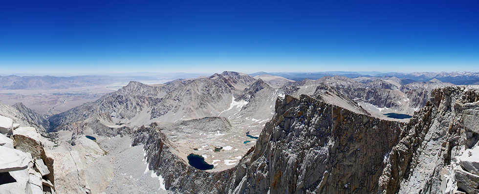
I was hiking a little before 6 am and soon I left the main trail to head up the North Fork of Lone Pine Creek. The trail wasn't hard to follow up to Lower Boy Scout Lake. There I stopped to admire the trout, watch some deer, and feed the mosquitos. I got a bit lost in the talus, but it didn't really matter and soon I was back on a trail up past Upper Boy Scout Lake and on to Iceberg Lake. There was no snow in Iceberg and only a little patch on the uphill side. There is so much less snow this year than last year it is pretty amazing. I filled up my one little water bottle at Iceberg (I had planned to bring 2, but somehow didn't) and headed up the Mountaineers Route. I stayed left of the main gully on mostly solid rock. There was a bit of loose talus near the top but it wasn't too bad. The technical crux was probably after the top of the gully where there was a little ice to avoid, but it wasn't bad. By now I was missing oxygen and feeling a little bit of a headache but even at my reduced pace it wasn't long before I was up on the summit with what seemed like quite a crowd. I sat around, ate some food, took pics over the edge and of the birds and the plane that buzzed the summit and even did a handstand. Then it was time for the descent.
 |
|---|
 |
|---|
I made pretty good time back to Iceberg Lake for more water but there was still a lot of down to go and it seemed to take forever even if I did make decent time. By the time I was back to the trailhead I was pretty tired. I guess I made it but I didn't feel particularly acclimated or ready for the 2012 Sierra Challenge - especially not day 7. I only saw a few groups other than on the summit which had from 4 to 20 or more people while I was up there. I think this is the 4th time I've summitted Mount Whitney - now supposed to be 14,505 or maybe 14.508 feet above sea level - the highest peak in the contiguous 48 states. Despite being a lot less acclimated than my previous ascents this still might have been the easiest.
You can see the somewhat incomplete spot track for this trip here:
Mount Whitney 2012 spot track
 |
|---|
 |
|---|