Tom Grundy's TMF 2010 Expedition Page (part II)
This story is continued from part I
It is essentially the same as what you see here on the Wend Blog with a few changes.
Day 3
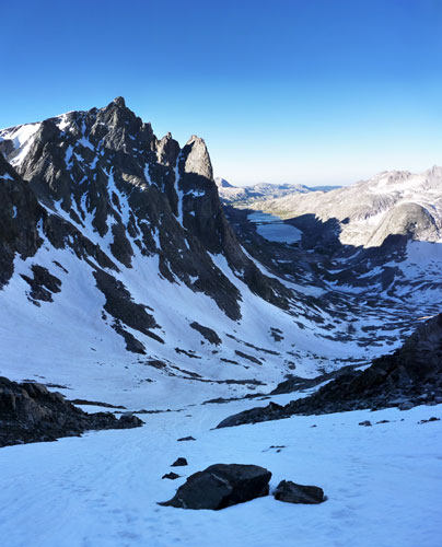
morning view of Mt Helen (yes, that is ice inside the tent)
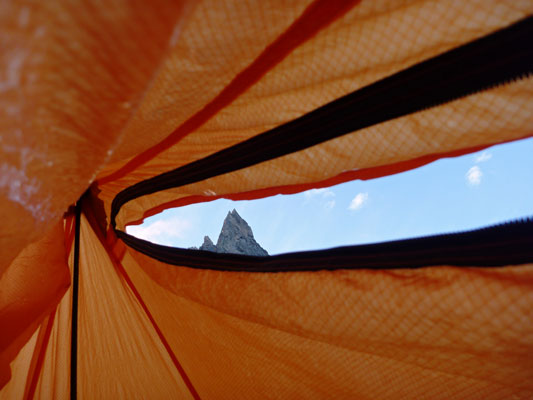 |
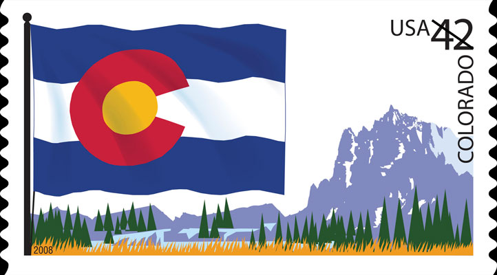
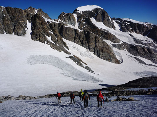
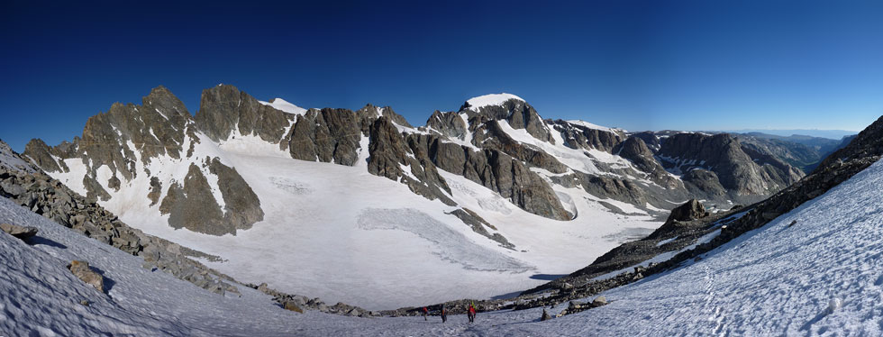
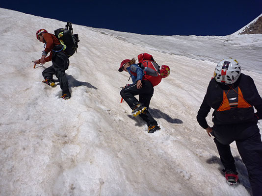
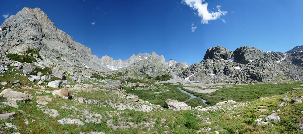
After getting dumped on for much of the night, we weren't sure what day 3 would bring. My first peek out through the shelter zipper revealed some blue sky and the top of Tower 1 among the clouds, so I stuck the camera out to take a photo looking the other direction. I got a photo of a wet rock, but decided to make my move anyway. Our original plan was to climb the Tower 1 gully of Mount Helen, a classic with up to 70 degree snow/ice. That didn't sound too appetizing for me with flexible boots, aluminum crampons, and a single axe that is described as a “snow tool”. I lobbied for heading up the south buttress of Tower 1 and then on to the summit with a descent back down the North Gully. This also would allow us to leave some of the gear and food back at camp. Mount Helen, at 13,620 feet (4,151 m) is the 4th highest peak in the range and the 5th in the state. Rumor has it that it is the mountain depicted on the Colorado state postage stamp (see photos later to make up your own mind).
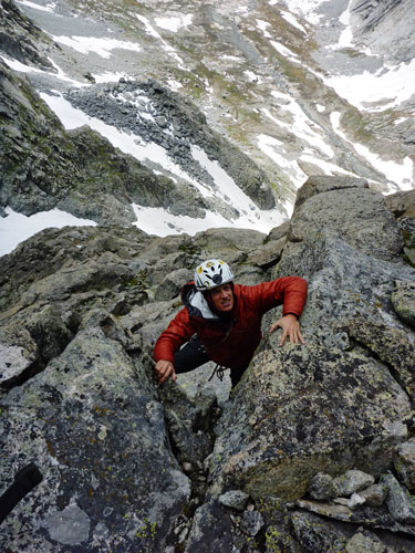
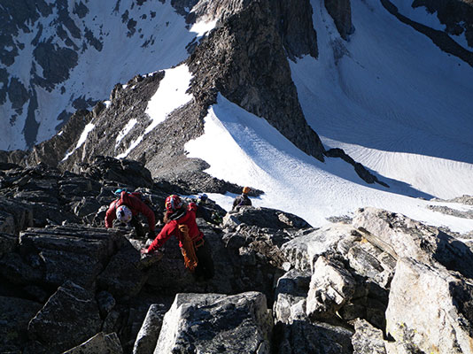
We traversed over to near the base of the South Buttress and started up an attractive dihedral. We climbed as 2 parties of 3. I started off simul-climbing, but after pulling a few hard moves (and/or low on gear) I'd set up a belay and bring the others and the gear back up. We continued this pattern for the rest of an enjoyable morning. It was also nice to see that the weather appeared to be holding off for us. From time to time I'd point out a better route for the second team, but mostly we just climbed whatever features looked fun and easy enough.
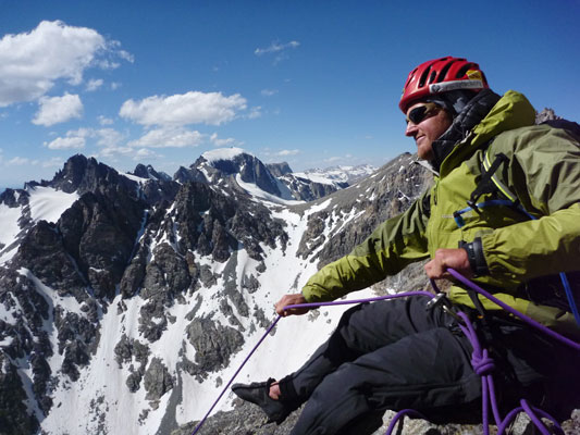
Jason on Mount Helen
 |
Andy on Mount Helen
 |
Nearing the top of Tower I
 |
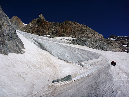
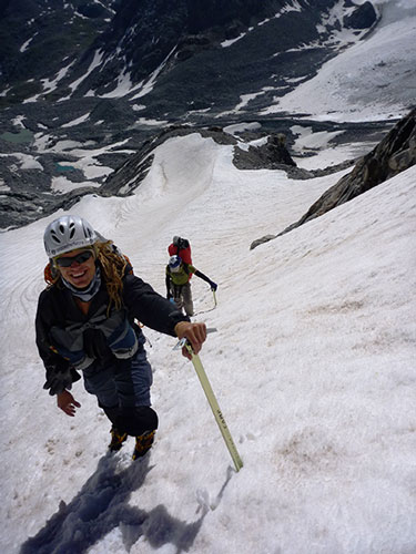
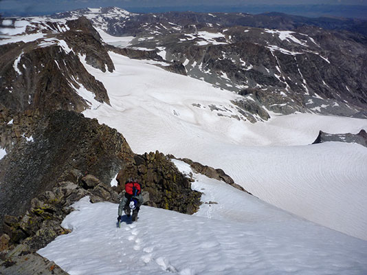
There were some cracks that looked fantastic, but I am guessing that they were a good bit harder than 5.7, so we traversed around them. As we neared the summit, the climbing got even more exposed and fun, although I reluctantly agreed to no go to the summit of Tower 1 (due to time constraints). When I got to the notch between Tower 1 and 2 I could see down the seemingly vertical gully we had planned to come up originally, and I am glad we opted for the rock climbing (although things really do look steeper from above). Then we had to figure out how to get around Tower 2. The guide said to skirt it on the south side, but that looked pretty desperate. Finally we decided to rappel back down and climb up around on the south side. Then we went through the notch between Tower 2 and Tower 3 and started up towards the summit. We got our first good look at the summit of Gannet Peak from here.
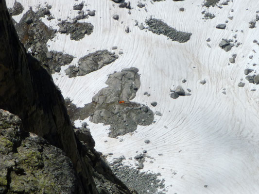
The couloir we rapped to
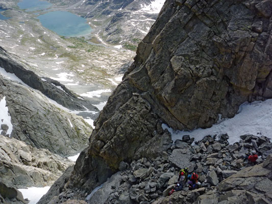 |
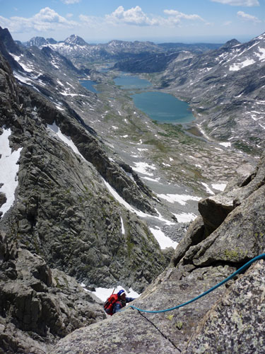
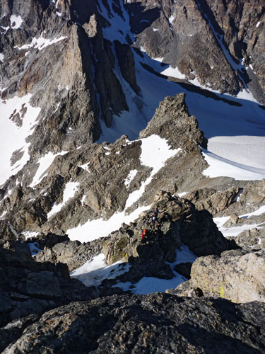
Looking way down to our camp
 |
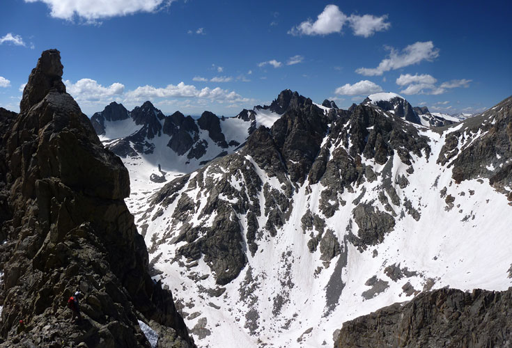
near Tower II notch looking W and N (Gannet is the tall peak with snow across the top on the rightish side)
 |
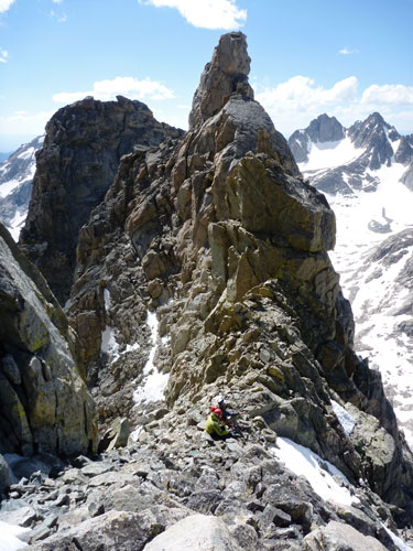
Tower 2 notch
 |
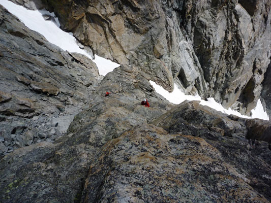
Jason belays Chelsey up
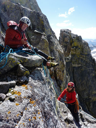 |
Daniel Belays (Gannet is the tall peak with snow across the top)
 |
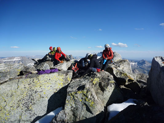
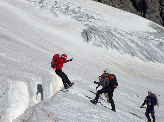
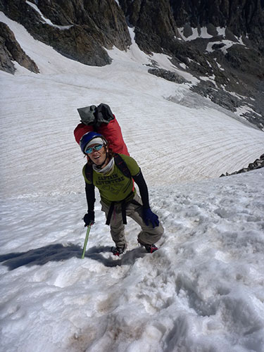
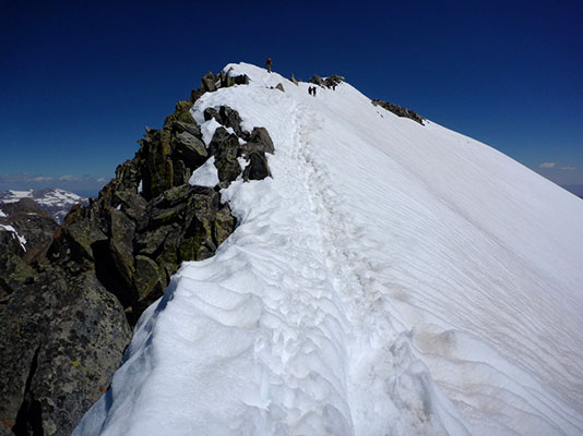
The next bit was complicated by water running down the most obvious dihedral. With gusts the water would blow back up the face and onto any unsuspecting climbers downwind. We continued on with a crux move protected by an old piton. Clipping it was exciting though, as my foot slipped off of the ice patch I was stemming on. The next bit of excitement was a bit of poorly protected traversing rock climbing which I did, or stemming between another snow/ice patch and a wet wall which Jason led. Neither was particularly secure feeling. Then there was a bit of fun scrambling which ended on a pile of rocks at the angle of repose. Daniel went up this first and found the mine field (he held one sliding rock while Sam was stemming up the dihedral below). Luckily no major rocks came down to crush him. The rest of us went up carefully while the others hid off to the side. One more step across some ice and some scrambling led to the summit from there. We enjoyed the views, signed the register (we appeared to be the first group this year), and plotted our descent.
The last step across before the summit
 |
Summit shot
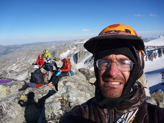 |
Summit shot without me in the way
 |
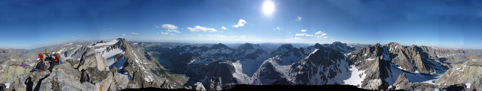
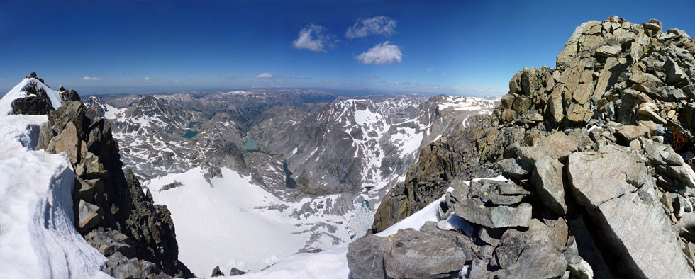
rough 360 degree + Panoramic image from the top of Mount Helen
 |
Summit composite looking E and S
 |
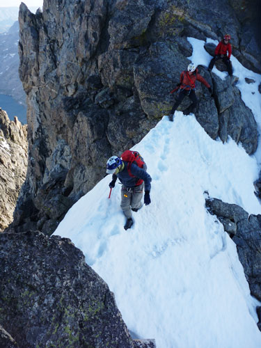
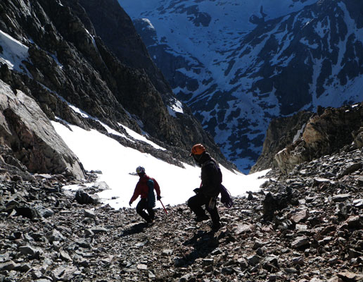
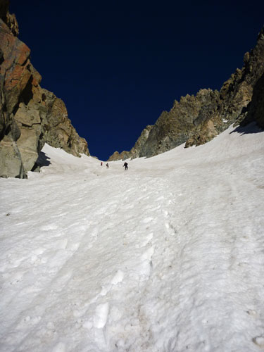
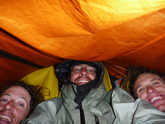
Heading down the ridge to the east and north was the chosen course. One ridge of snow was a bit exciting. Then we downclimbed to the north and finally were able to glissade and plunge step down to the top of the north gully. From there we descended rapidly (for the most part) back to our camp. After another delicious Alpine Aire meal, we packed ourselves back into the shelters and tried to sleep.
snow ridge on the descent
 |
We descended the rocks down to the snow
 |
and then down to the north couloir
 |
glissading north couloir
 |
packed into our shelter for the night
 |
Colorado State postage stamp - is it Mount Helen reversed (or from the other side?) (USPS image)
 |
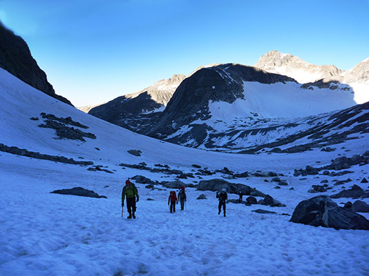
view of Mt Helen from hiking up Bonney Pass
 |
Day 4
This morning we got up early as we had a long day planned. It was still quite cold, but that helped with walking on top of the snow instead of post holing. We ate breakfast and packed up quickly and then headed up towards Bonney (once Dinwoody) Pass. It looked like a long way from Mount Helen, but it seemed even longer slogging up it with our packs from our camp near 11,400 feet to the pass at 12,831 feet. At the pass we took a short break for some food and to marvel in the view.
Starting up Bonney Pass
 |
Sam balancing on Bonney Pass
 |
descending Bonney Pass
 |
Panorama looking towards Gannet descending Bonney Pass
 |
Chelsey leaps a crevasse
 |
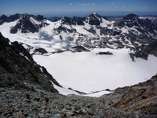
Then we dropped way back down on the Dinwoody Glacier to skirt around below a large rock rib. From there we headed up with a little difficulty on some crevassed ice and onto the Gooseneck Glacier. Here Mountain Man Dan took the lead and kicked some most excellent steps up the steeper part of the glacier. Then we had a bit more rocks above Gooseneck Pinnacle and we were on the summit ridge of Gannet Peak. Gannet is the highest point in Wyoming at 13,799 feet (4,209 m). Some say it is the second hardest of the state highpoints after Denali in Alaska. It certainly is a spectacular peak in a spectacular setting.
We are glad we weren't here when this rock came down
 |
Dan kicking steps up the Gooseneck Glacier
 |
Sam heading up Gooseneck Glacier
 |
Andy on Gooseneck Glacier
 |
more Gooseneck Glacier madness
 |
The final ridge on Gannet
 |
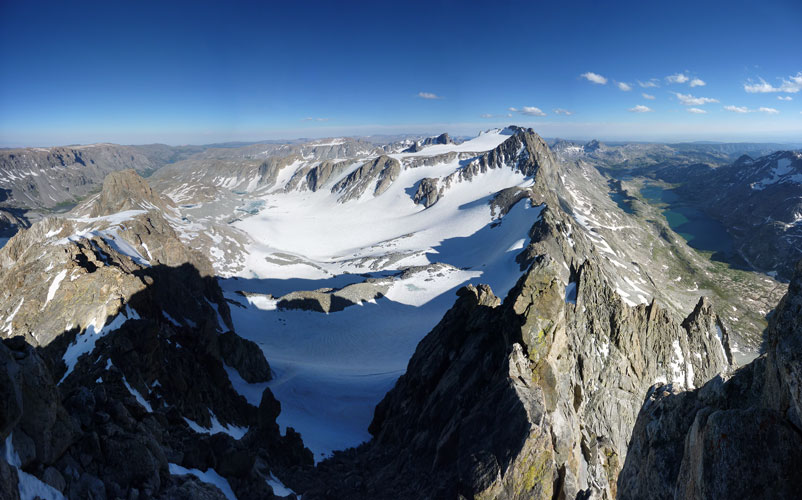
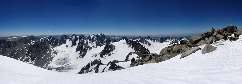
Panoramic image from the top of Gannet looking SW through W to N (The Wells Creek drainage is in the center)
 |
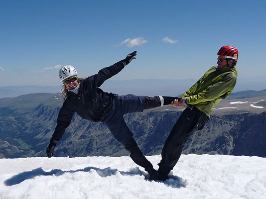
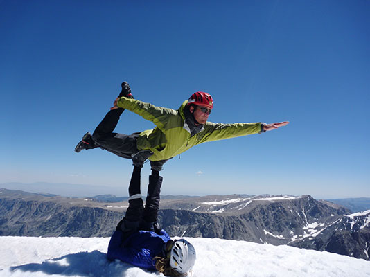
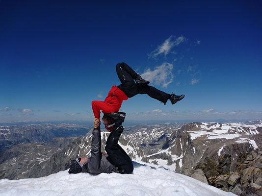
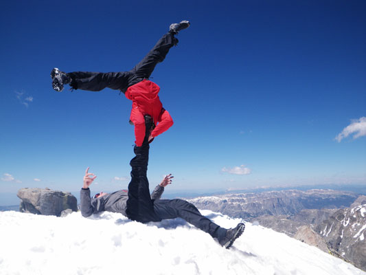
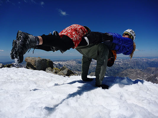
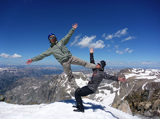
We signed the register and enjoyed the view. Then we decided that doing some AcroYoga on the summit would be easier than finding the descent.
Sam and Daniel on Gannet
 |
Chelsey on top
 |
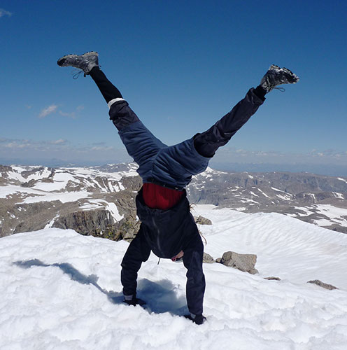
Sam does a handstand on top
 |
Daniel and Sam flying on Gannet
 |
Jason and Chelsey flying on Gannet
 |
More Acro fun
 |
Sam and Tom counterbalance on Gannet
 |
Andy and Jason flag on Gannet
 |
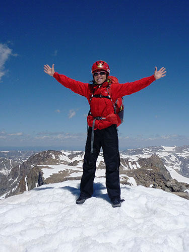
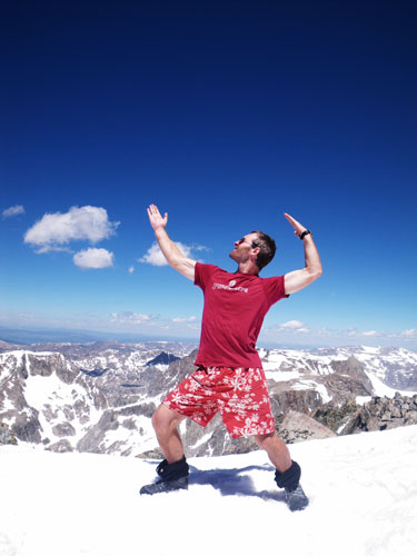
An obligatory summit pose
 |
Panoramic image from the top of Gannet looking NE through E to S
 |
After some fun, we had to face up to it and find a way down. I wasn't sure how we would get down to the west, as the cliff descended thousands of feet to the glacier in that direction. We started out heading down the north ridge. When we hit the rock we rappelled, although it looked like downclimbing would be possible. I downclimbed from the bottom of the rappel and saw that we would be able to descend the talus to the top of a snowfield. Some of the group did a second rappel. Then we picked our way down the loose talus to the snowfield. It cut down around some rocks, so we couldn't see if it went all the way down, and an uncontrolled slide would end up on rocks or going over a cliff. We carefully headed down until we could see around the corner that the angle eased below. Then we were able to plunge step and glissade down a good distance before having to cut left around another cliff band. Then we crossed the Minor Glacier (which is still quite large). This featured a few sections of painful post holing into slush, especially as the crust was hard enough to hurt your shins. More talus, rock, and a snowfield brought us out of the land of rock and snow and onto a beautiful little meadow for another break.
Andy descends from Gannet
 |
descending down to the snowfield above the Minor Glacier
 |
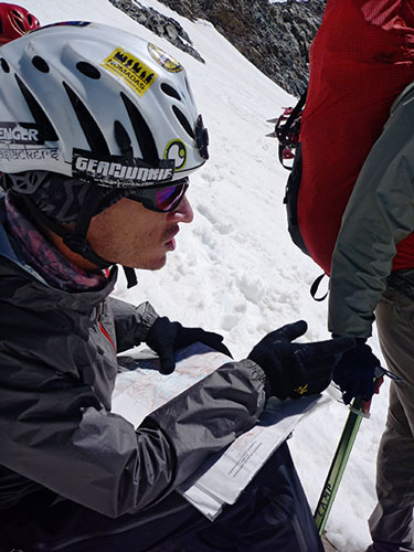
consulting with the map
 |
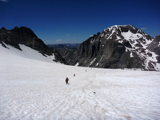
crossing the Minor Glacier
 |
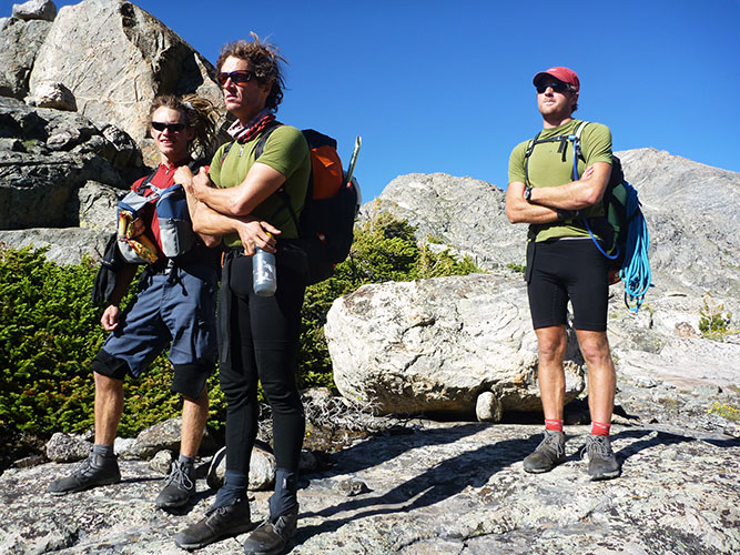
Jason and Chelsey with 80's hair by the Wind River Range
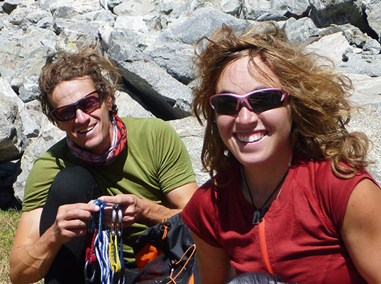 |
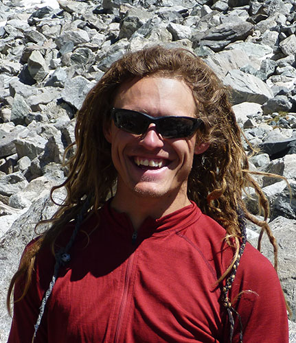
Sam's hair got interesting too
 |
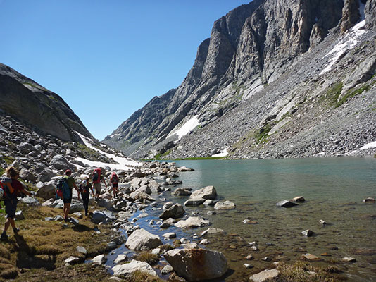
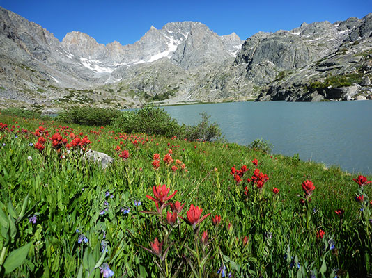
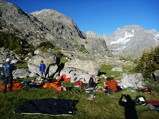
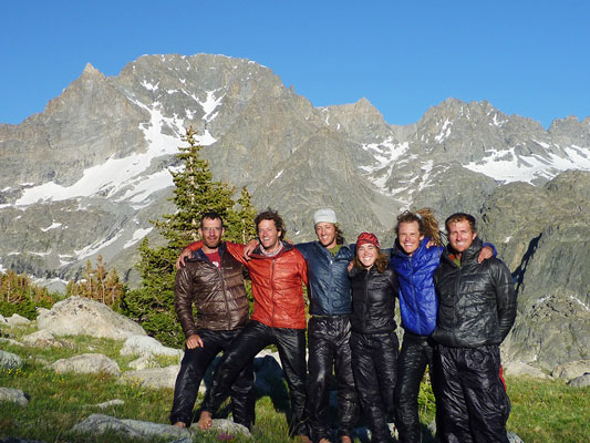
Next we dropped down to and traversed around a lovely little lake before making our way past Scott Lake. We were planning to go down Wells Creek, but weren't sure exactly how. It didn't look passable from the head of the long extension on Scott Lake with either cliffs or undercut snow going down to the water. Chelsey pointed out what a lovely place this would be to camp. We pressed on heading up the rounded buttress to the north of Wells Creek looking for a good way down. Or even a not impossible way down. This was made more exciting by the fact that many of the cliff tops were rounded so it was hard to get to the edge to see what was below. Finally we succumbed to the lure of Chelsey's beautiful meadow campsites and the idea of stopping before we lost the sun (so that we could dry things off before it got cold and dark). We stopped with the usual gear explosion across a meadow. We found a number of sardine cans near where we camped, but nobody was brave enough to open one (they looked like they had been there for years). A few days earlier it seemed like we had maybe brought too much food, but now we were thinking maybe we hadn't brought enough. There was some bartering for various bars and other treats. Before we lost all the sun we posed for a group photo with our Mont-bell thermawrap gear on. That evening a full moon rose over the mountains.
nice lake
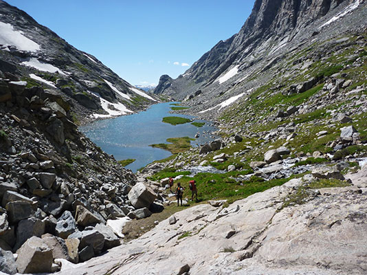 |
hiking along the nice lake shore
 |
Wells Creek drainage panorama above Scott Lake (Gannet in the middle)
 |
Scott Lake
 |
looking down to Wells Creek
 |
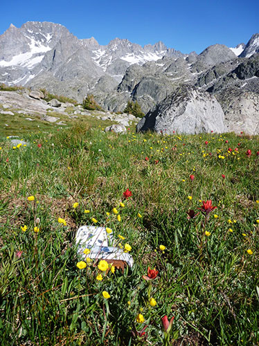
Meadow still life with sardines
 |
gear explosion at camp
 |
The team in our Mont-bell thermawraps
 |
To be continued....in part III here
link to the spot track from this trip
The spot track is nice, but it sure didn't get the start and end right (by the lake to the southwest).