July 30, 2016 San Luis Peak has two difficulties. The main one might be getting to the trailhead (according to Summitpost this is the most difficult 14er to get to in Colorado). My GPS didn't have all the roads on it - or at least they weren't labeled the same as the directions, so things were a little interesting. It also was a long way from the previous trailhead. We drove a ways just to get to the dirt roads, and then for a long ways after that. At first we were able to go over 40 mph, but soon we had to go slower and slower with some sketchy fords and rocky patches. Other than the stream crossings nothing was particularly difficult but when it goes on for miles and miles it does get old. Finally we made it to a parking area a quarter mile from the trailhead about dark. It took some effort to level the vehicles but we managed. There were a lot of mice in the parking area and they kept trying to get involved with our food preparation. We had a little bit of rain on the way in but not enough to make the road too muddy. The forecast for the next day was a bit iffy too.
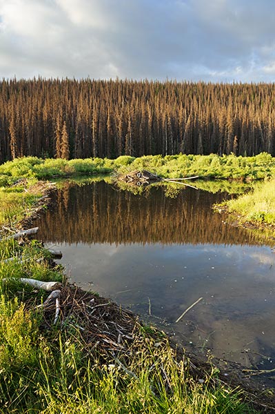
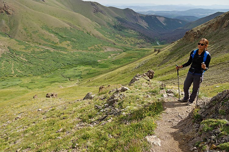
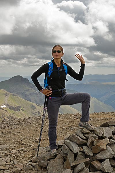
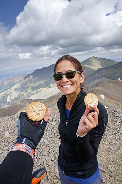
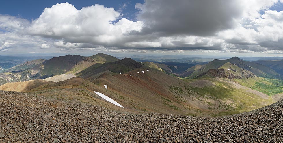
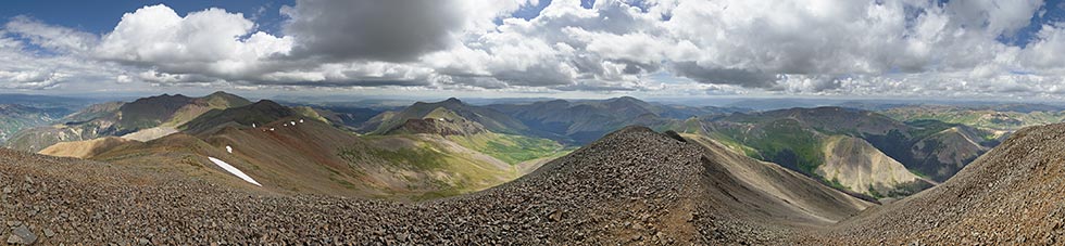
7-31 Another 14er, another too early start. I was worried about making the long hike only to have to turn back at the end because of lightning. We had our usual 5:30 coffee delivery and headed up the road about 6:20. The trail was pretty good and not very steep for a while so we made decent time. We saw a moose and a lot of beaver dams and tons of dead trees. It looked like bark beetles had really devastated the forest here and with all the dead trees covered with tiny branches it looked like a massive forest fire waiting to happen. We continued on up crossing the creek twice as well as a few swampy places. Then we had some more serious uphill before getting to tree line. We could see some clouds building but not too badly yet as we headed up a steepish slope up to the final ridge. From here we could see a number of people on the summit as well as some parties passing us heading down. They urged us not to dally. We continued on the final mile and a half or so to the 14014 ft summit arriving around 10:45. Time for some photos and summit cookies before we headed down. We had a long ridge to traverse and didn't want to stay longer.
| |
|---|
 |
|---|
 |
|---|
 |
|---|
 |
|---|
 |
|---|
We were just starting down the slope from the saddle between San Luis and Organ Mountain when we heard the first thunder at 11:40. It wasn't that far away and we were glad to be going down. We had a long slog on a decent trail, but soon enough it started to rain. We stopped to put on rain gear and that helped a lot although pushing past all of the wet brush and grass eventually soaked my feet. We stopped under a tree for some food and then pushed on returning to the vehicles around 2:30. From there we made the long drive back to paved roads. I was really glad to have summited and not have to come back for another try. I had seen a nice rest stop with a covered picnic area on the drive in but someone else was occupying it. We stopped at another pullout where I was able to set up and cook dinner under a large pine (it was still raining). We slept there that night. The next morning after sleeping in a bit I was off to Salt Lake City and the OR show and Nalumon went to Gunnison for some rest and her own adventures.
 |
|---|
Summary of July 31, 1 14er, about 14 miles, 3,800 feet of elevation gain, moose, thunder, soaking rain, and the last of the San Juan 14ers.