After getting worked on Rainier, I felt the need for a bit more fitness, and what better way than a mini sufferfest. Last year I had biked/hiked up Mount Humphreys, so I decided to do it again. The weather forecast was for clear and windy and Julie was getting up early to drive, so I got up early to suffer. It was Saturday June 13th.
| |
|---|
 |
|---|
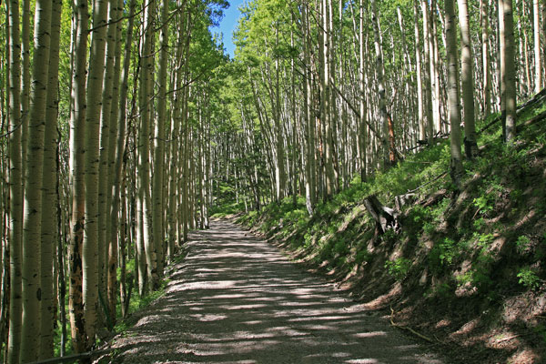
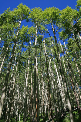
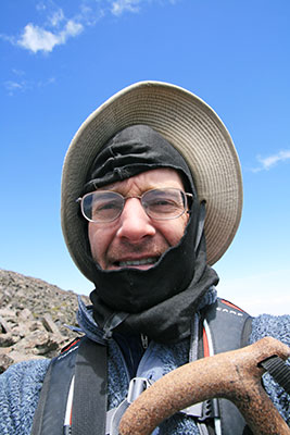
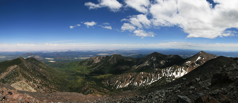
I started off at 6:15 am at 7,000 ft in elevation, it took 3 hours to bike up Schultz pass and then to get to the spring where I left the waterline road. From there I biked up a bit into the Inner Basin and then hiked up the Inner Basin trail to the Weatherford Trail and up the summit trail to Humphreys Peak, the highest point in Arizona at 12,643 feet, 6.5 hours from the start. It was very windy up top, I am guessing over 50 mph gusts and continuously around 30 or more (hard to stand still without bracing). There were a lot of people up there (it was a nice Saturday). I ate some tasty sandwiches in the lee of a rock and talked to some people that hiked up to train for Kilimanjaro. Then back down down down.
 |
|---|
Eventually I got to the bike and dressed warmly for the coast downhill. With some fresh gravel and a headwind I didn't seem to go that quickly, unfortunately the spot tracker was spotty, so I have no idea how fast I was going. Then I took the Schultz Creek trail, which has some really fun parts, and on back to Flagstaff. Round trip time was just over 11 hours. I am guessing somewhere over 30 miles total, most of them on the bicycle.
Last year I did this trip June 8 and July 5th, the snow level was somewhat between the 2, but probably a bit closer to the July level.
Spot adventure page I made (map, etc)
 |
|---|