Tom Grundy's Mount Lindsey Page
After driving in late in the evening we slept in a bit (to about 8) and had a leisurely breakfast. Eventually we packed up and drove to within 2 miles of the trailhead. There we loaded into my truck and drove the rest of the way to the trailhead (they had recently fixed the messed up road - score one for procrastination). We started hiking about 12:50 - not too concerned about thunderstorms because it was so late in the season that the afternoon storm pattern wasn't so common. Plus I had no success in getting the others to start earlier.
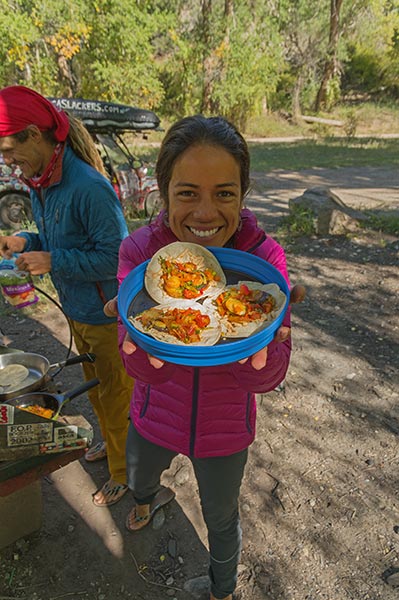
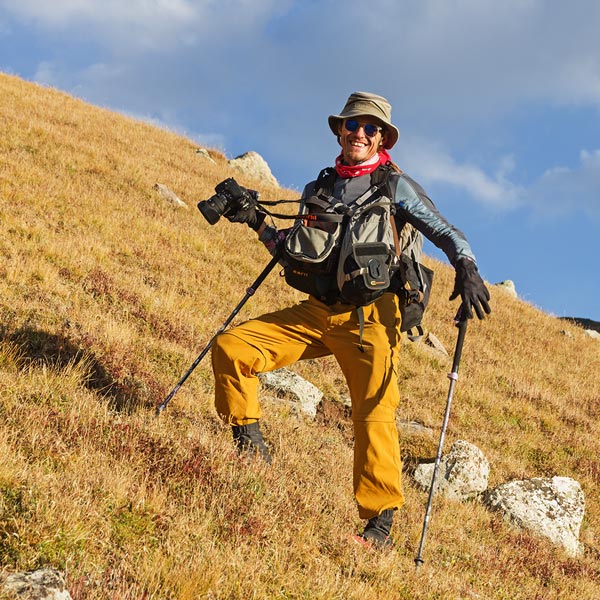
Raquel and some breakfast
 |
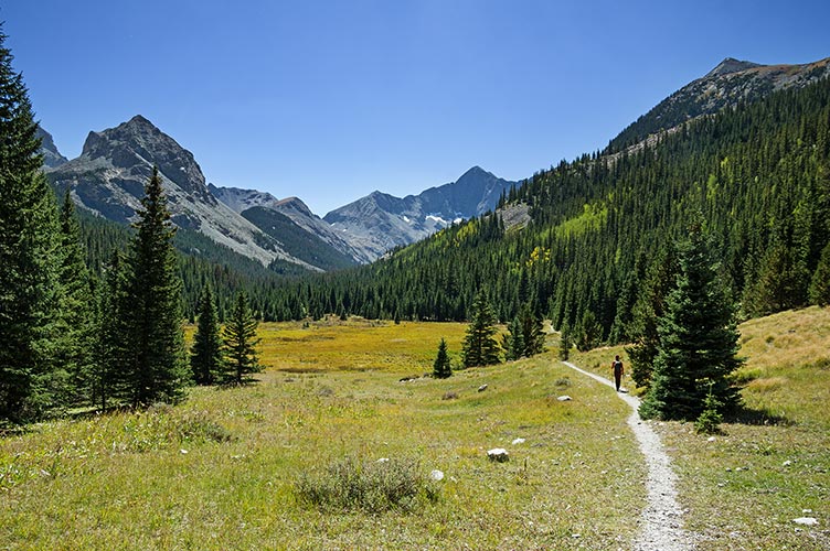
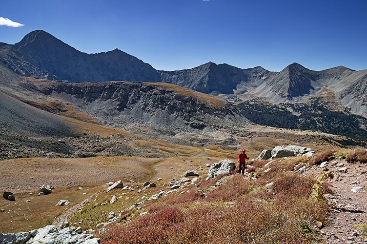
following Raquel up the valley
 |
We had some early interesting navigation where a beaver dam had expanded a creek over the trail, but soon got back on track. The hike was mostly pleasant up along creeks to treeline and then across meadows and up to the saddle between Iron Nipple and Mount Lindsey. There Raquel opted to stay and Sam and I pushed on up the loose gully to the west ridge and the 14,042 ft summit about 4:15. There was a chill wind and some weather to the south. We took a bit of a photo and phone break before heading down.
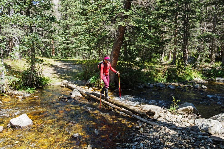
a stream crossing
 |
and up a side canyon
 |
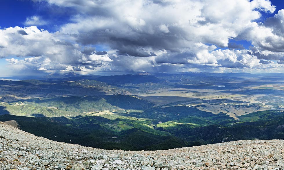
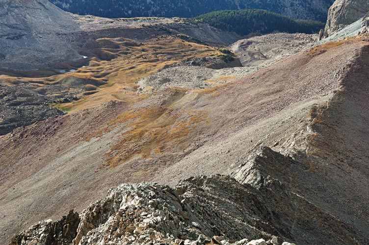
and more up, Blanca and Ellingwood are on the left skyline
 |
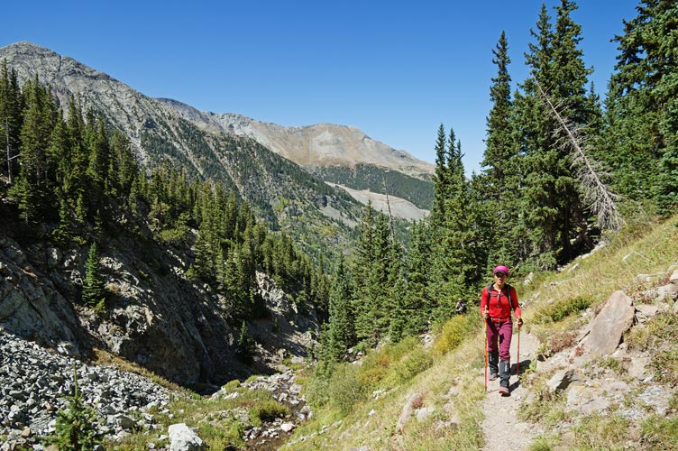
view up the NW ridge and N slopes
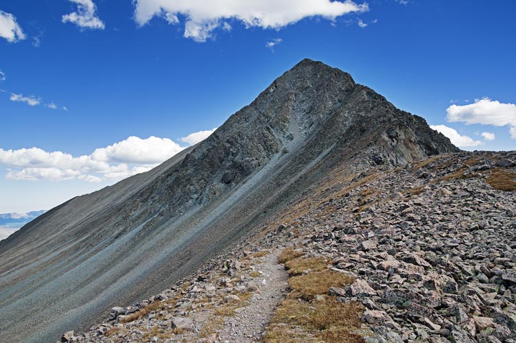 |
Sam looks over towards the summit when we hit the ridge
 |
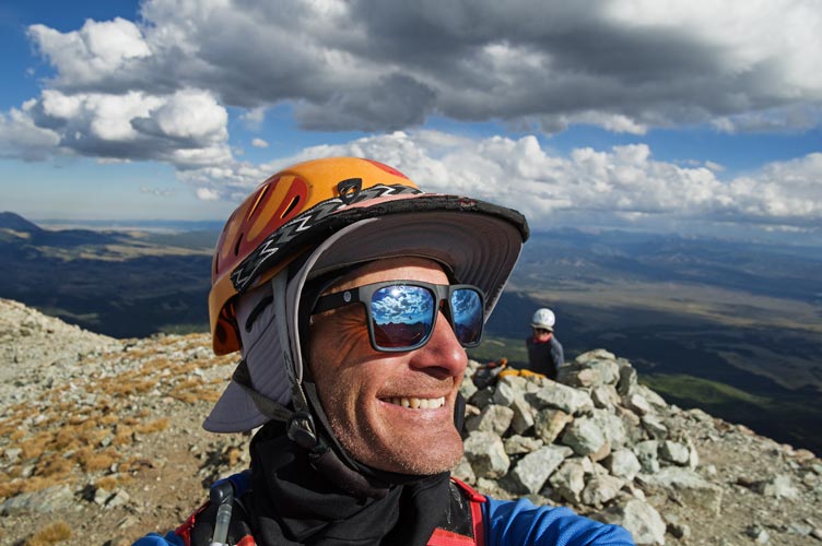
summit selfie
 |
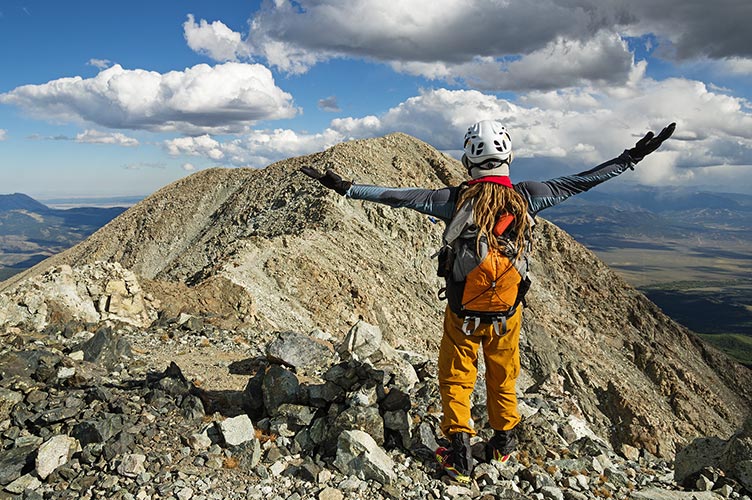
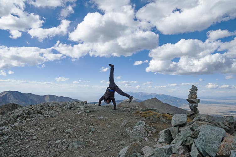
summit cartwheel
 |
view southish from the summit of Mt Lindsey
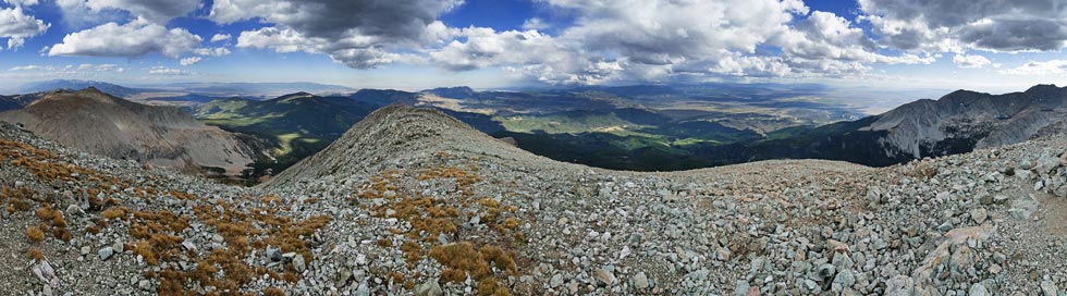 |
cropped in on previous panorama
 |
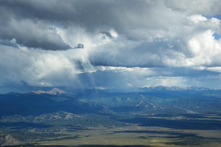
the weather to the south really was dramatic
 |
Tiptoeing down the ridge I stepped on a large loose rock and sent it down the north face but managed to jump back without falling. Raquel heard this from the saddle and was somewhat concerned. After a bit of scrambling and a mix of delicate climbing and thuggish scree skiing we were back on the trail and shortly met up with Raquel. The descent went fairly quickly, which was good because it was getting late. We did explore a short mine on the way back and made it to the trailhead just around dark although we probably should have stopped to dig out our headlamps.
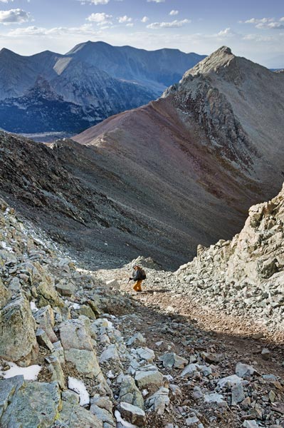
looking down the NW ridge, Raquel is a dot where the trail leaves the ridge
 |
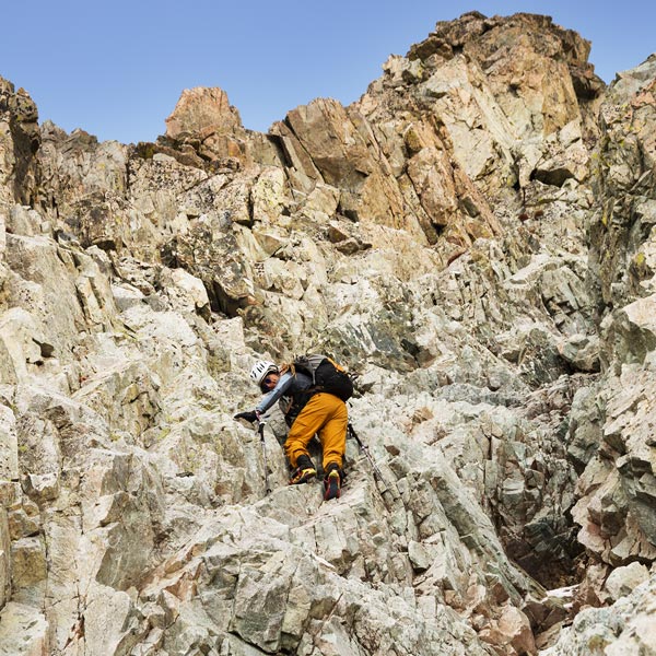
Sam downclimbing
 |
Sam doing some rugged scree skiing
 |
Sam in the last of the sunlight
 |
Summary of September 16, one 14er, about 8.25 miles and 3,500 feet of elevation gain. A very late start and finish, one mine exploration.
No material on this page may be copied or used without permission.