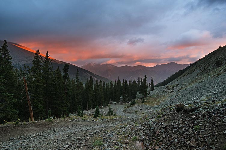
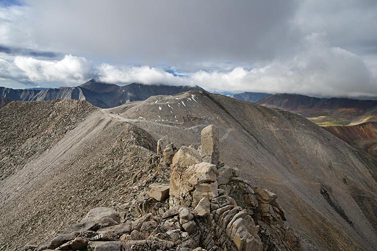
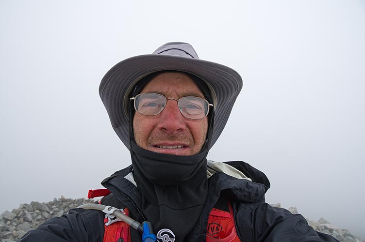
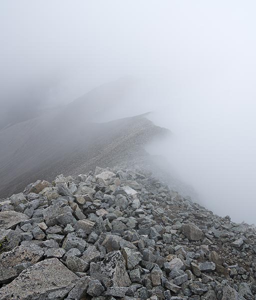
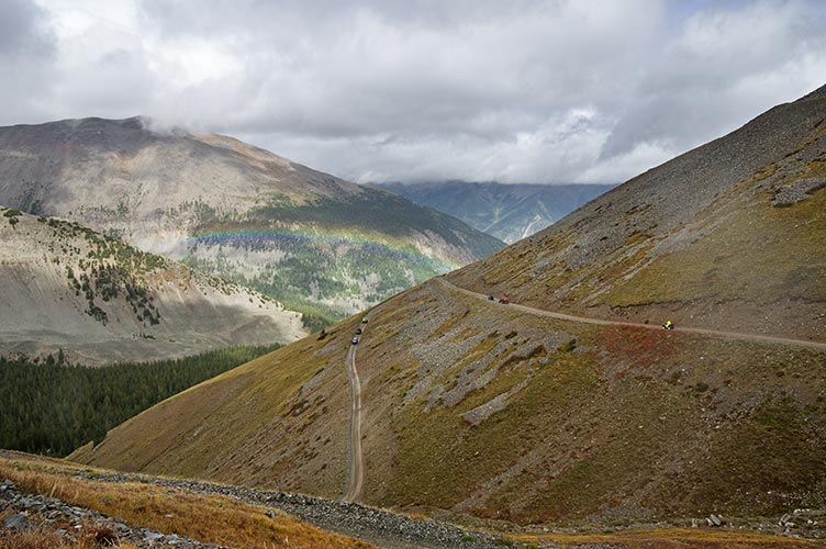
Mt Antero without 4wd makes for a long day. The forecast wasn't particularly nice either. I got up early and drove the short distance to the trailhead and started hiking up the road before 4:45 in the dark. Most of it I could have driven up, but there were a few spots that would have been a problem, especially right at the start. There was a bit of rain and drizzle and a brief half-hearted golden sunrise. I passed a few campsites - some looked pretty permanent. Only one Jeep passed me all the way up - one of the advantages of starting early I guess. There were some people at the prospecting site as well as all sorts of warning signs about not poaching their claim (this is a well known beryl and aquamarine location). I think they might actually make more money selling the mud than gemstones. I kept my eyes out on the hike up but didn't see any great minerals. It had stopped raining by now but there was a cold wind and fog/clouds blowing about. I just followed the ridge up to the 14,269 ft summit at about 9 am. I got a few glimpses out for views but mostly the summit was shrouded in clouds.
| |
|---|
 |
|---|
 |
|---|
 |
|---|
I didn't linger very long and headed back down. I did more cross country on the way back - partly because I could see where I was going down below and partly to avoid the hordes of ATVs and Jeeps driving up and down the road. They are pretty noisy and smelly, but at least they weren't going all that fast and the drivers were friendly. I would hate to hike this road on a busy weekend. At least it was wet enough to keep the dust down. I made much better time going down despite stopping for pictures and raspberries and thinking I lost my balaclava I made it back before 1 with some tired legs and sore feet.
 |
|---|
 |
|---|
That afternoon I went to Salida for some car parts (time to stop the tie rod ends from rattling) and groceries (thanks Jamba) before driving the long and washboarded road to the Shavano/Tabaguache trailhead. I went a few hundred feet past the trailhead to a nice camping spot in the woods. This was a Friday night and there were plenty of people out camping and even more driving out after I got there looking for a spot. I was able to cook up dinner with nice weather but later that night it rained again.
Summary of September 2nd, one 14er, about 16 miles and 5200 feet of elevation gain. Drizzle, rain, wind, fog, and ATVs.