2025-04-09 I had a bunch of days in early April that I needed to climb a new peak, so once I finished my taxes I got to work. All of the peaks I did were in the same basic area - north northwest of Bishop east of Crowley Lake. First up I drove up in the evening near the Benton Crags and hiked up Peak 8185 arriving after sunset. I made it back down to the truck before I really needed my headlamp. Then I drove up a different dirt road and parked up there near a mining prospect for the night. It was colder than I expected.
2025-04-10 In the morning I ate the oatmeal I had hot soaked in a thermos and then headed up Banner Ridge - the local high point. There were lots of pinyon nuts on the ground so I picked them up and munched on them as I walked along. After Banner Ridge I headed down the hill and over to Peak 8258. Then I continued munching pinyons on the way back to the truck and headed home.
| |
|---|
 |
|---|
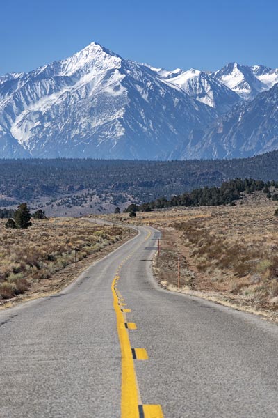
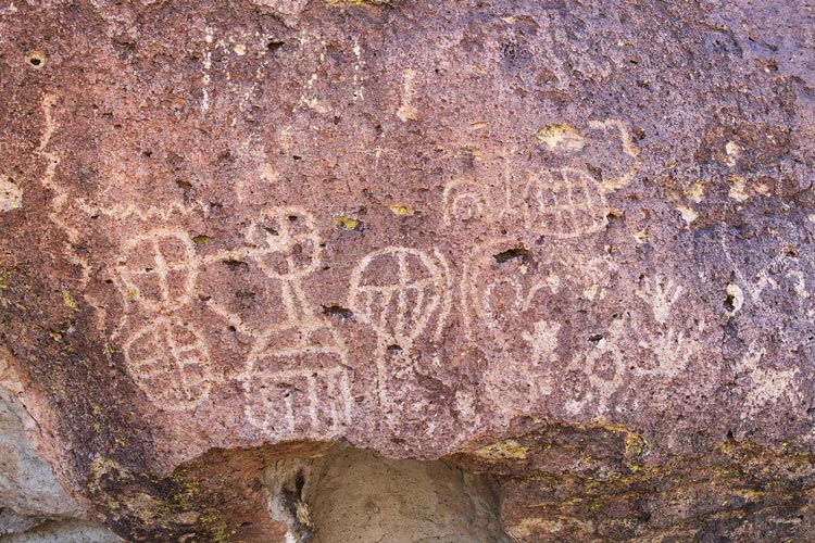
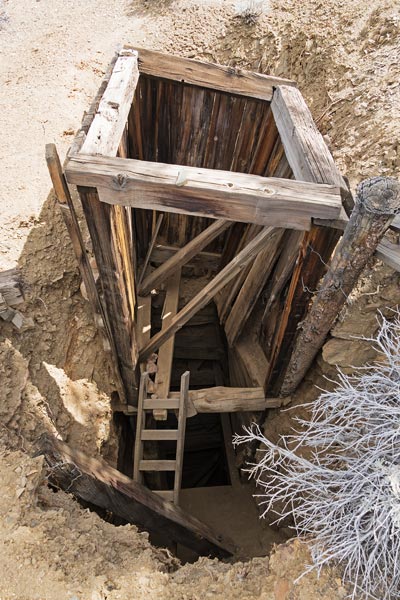
2025-04-11 This day I used a lot more electrical and muscle energy to get another peak. I started off with the e-bike and 2 batteries. One was fully charged, the other at least mostly charged. After a few paved miles I headed up Fish Slough road which is not paved. The washboards and loose parts were a pain and definitely taxed the battery more. I stopped to take pics of some of the petroglyphs on the way. About 22 miles in I was at the turn up Red Canyon and the first battery was going between one and 2 dots (out of 5). I stopped to switch batteries and pretty much ran the fresh one down in the next 10 miles gaining 2000 feet. I turned off to a small cabin and took a break from riding. I left my bike there and headed up the hill to the 7342 ft summit of Chidago Canyon Peak. On the way I stopped to look at some mining stuff and into a mine - it was tempting to head down the old wood ladder and explore, but I resisted the urge. There were pinyon nuts to eat here too. The ones that were sprouting tasted a lot more piney so I avoided them.
 |
|---|
 |
|---|
 |
|---|
 |
|---|
 |
|---|
 |
|---|
 |
|---|
 |
|---|
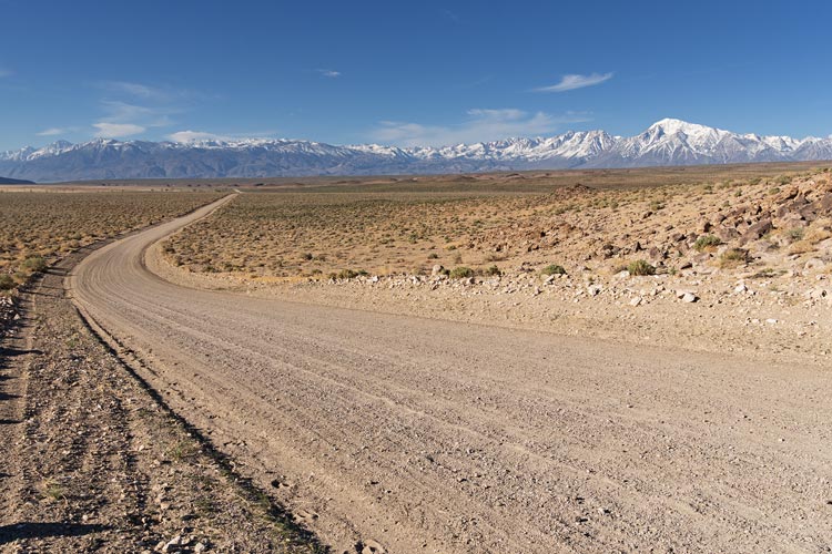
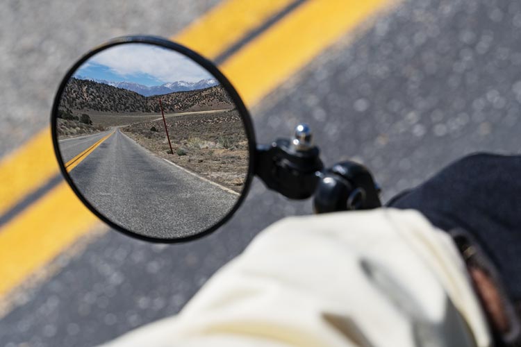
Back on the bike I was originally planning to head back the way I came - which probably would have made more sense since both batteries were pretty run down. Instead I continued on up the road to join with the Benton Crossing road and then cut off across the Crowley Lake Dam and through Tom's Place and then down 395 to the lower Rock Creek Canyon. For much of this distance I kept the electric pedal assist at a pretty low level - enough to make up for the heavy bike, but I still had to pedal pretty hard. I took the upper part of the mountain bike trail which was fun, although I did have to dodge a few people along this. Then I left the trail to go up the road and stopped for another short walk to Sherwin Hill - a Peakbagger only point high above Lower Rock Creek. Then I coasted down past paradise using the regenerative braking to recharge the battery a bit. Then I joined the Pleasant Valley road bike loop and took that through Round Valley and past Mill Creek Park and then back through West Bishop and home. My butt and legs were pretty sore from this trip - it ended up being ~ 78 miles with ~ 5700 ft of gain.
 |
|---|
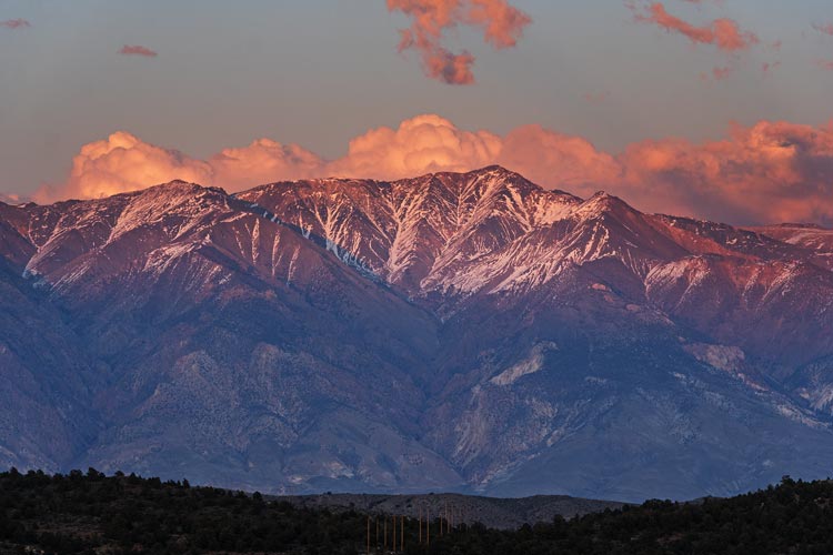
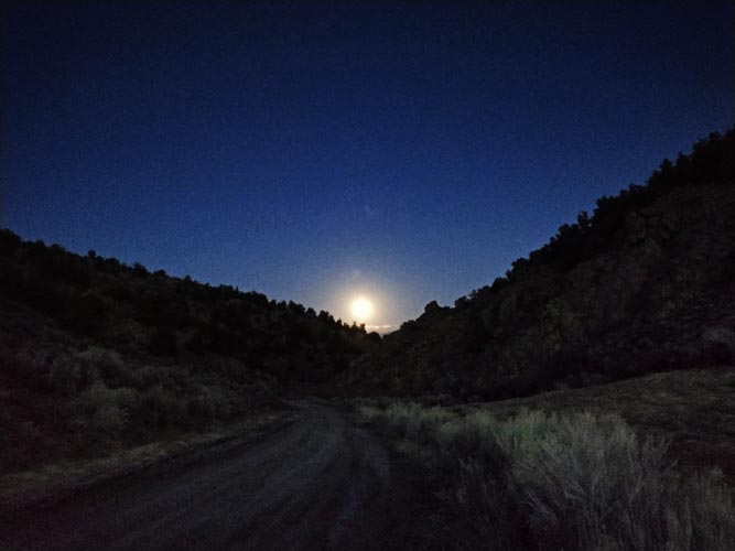
2025-04-12 I still had 2 more days to get peaks so I drove out again in the evening and hiked up Moran Springs Peak. I should have started a little earlier as it was past sunset by the time I got up. The pretty much full moon was rising by the time I got back down. Then I drove up Waterson Trough / Deer Springs Road until I was near another peak and found a flat spot. Most of this was pretty easy driving but it got rockier and rougher near the end. It was quite windy this night and I wore more clothes to stay warm.
 |
|---|
 |
|---|
 |
|---|
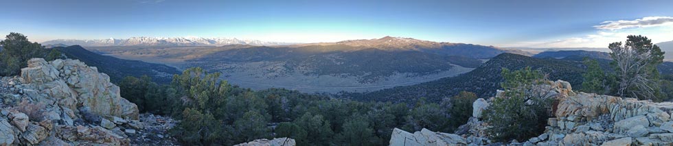
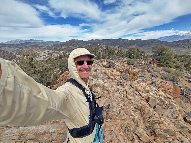
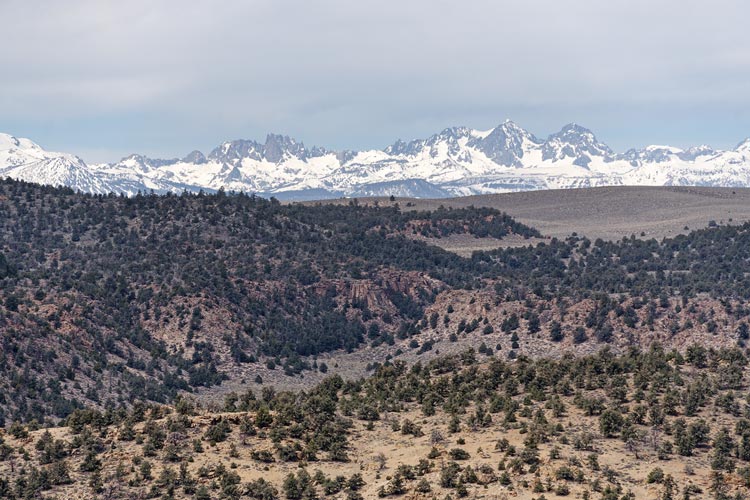
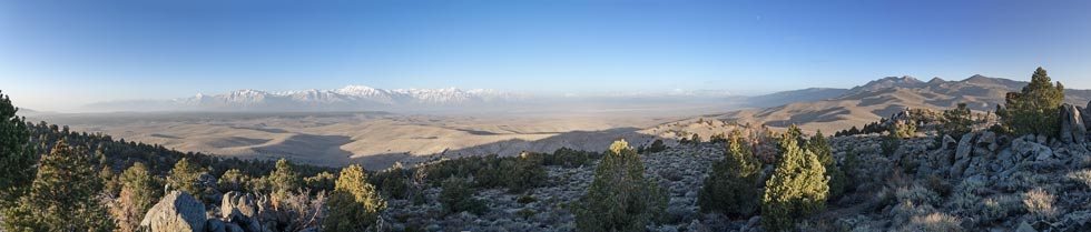
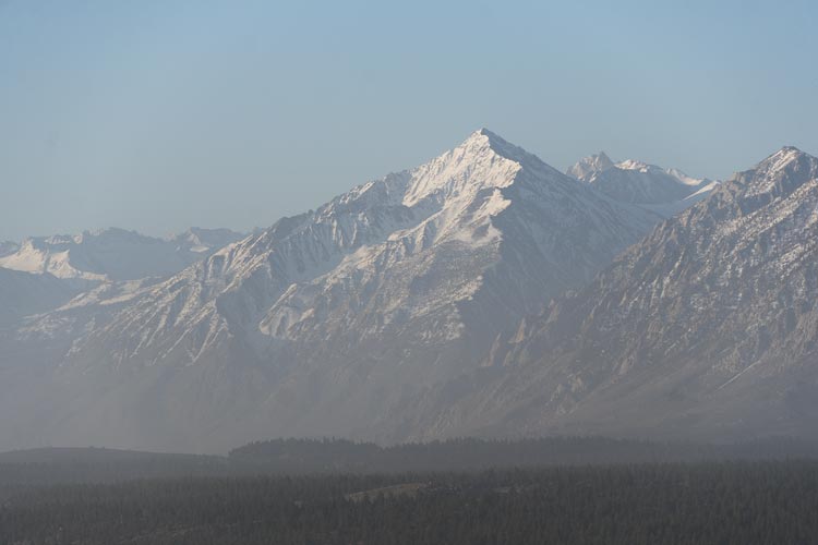
2025-04-13 Another early morning fortified with tea and oatmeal from thermoses got me heading up Peak 8268. There was a lot of dust in the air making for a sort of dreamy distant landscape. Then I cut back across the road and headed up Peak 8291 on the other side. This was an LOJ only peak. There was a chilly wind blowing, but things warmed up a bit once the sun cleared the White Mountains.
 |
|---|
 |
|---|