Tom Grundy's Inyo And Keynot Plus Canyon Point Page
Tom Becht needed 3 more Death Valley (and Death Valley adjacent) DPS peaks . I also had not climbed these peaks, but Iris had already climbed Inyo and Keynot in a somewhat traumatic epic early in her peakbagging career back in 2016. She would drive up with Tom on Friday and hike some of the first 2 peaks and then join us for Canyon Point the next day.
I packed up and drove down Friday evening arriving about an hour before the other 2. There was already a car parked there. After the other 2 arrived 2 more cars drove up past where we were parked (probably as far as you could easily get with 2wd). These were Kim and Marc Lucas - he stopped to say hello. It was cloudy over the Sierra, but relatively clear overhead.
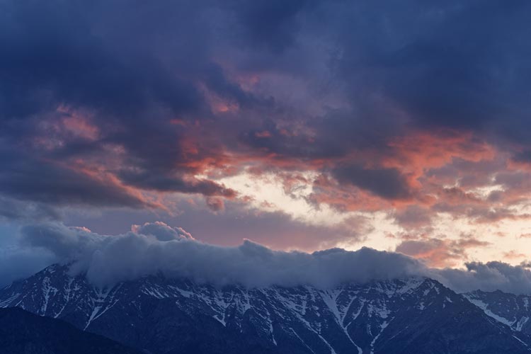
Sierra Sunset - I think Mount Kieth and Mount Bradley are hiding in there
 |
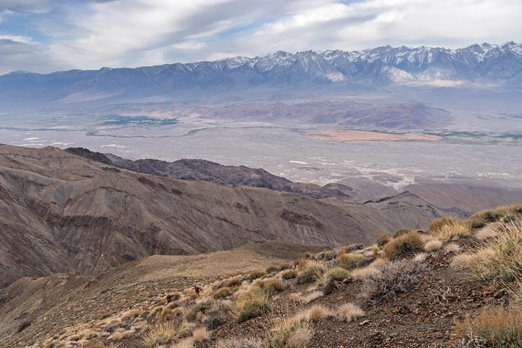
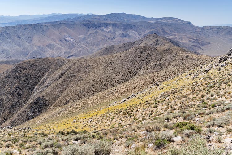
2025-05-17 We got up early since this was going to be a long day. While we were getting ready 2 more guys drove up and started hiking up the road. It was a surprise to have so many more people here. We drove up the road in the Jeep and gave the 2 hikers a piggy back ride up to where we parked behind the other vehicles (although we could have gotten a little higher taking a different road that cut to the left - oops). We cut back to the road and then headed up that to the end of a steep ridge which we started powering up. Between the mountain to the east and the cloudcover we were still in the shade but hiking uphill quickly generated enough heat to get us sweating. Soon we passed the other hikers and continued on up to where we cut over the ridge and down to a drainage with trees and a more reasonable slope. We went up past bedspring camp - marked by some bedsprings and an old bucket among other things and on up to the Inyos ridge. Tom cut down to a saddle while I hiked up to a bump with Iris. She would spend a number of hours here while Team Tom headed up to Mount Inyo.
Iris and Tom start up the slope - tiny dots center above Iris are the other 2
 |
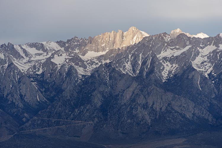
the sun breaks through the clouds onto Mt Whitney
 |
much higher on the slope looking back - now the others are dots behind on the ridge
 |
and even higher on the slope
 |
I dropped down to the saddle and Tom and I headed up the ridge. There was a little bit of a use trail for a while but then we lost it in the boulders along the ridge. Generally the travel was a little easier on the west or Owen's Valley side. It was slowish going but without any real stopper sections, just a lot of steep boulders and scraggly flora to work our way around. Finally we made it up to the 10975 ft summit. We enjoyed the views, cooling breeze, summit register, and a break from hiking up. Then it was time to head back down. It wasn't long before we passed the other 2 hiking up. Tom did a better job of staying west of the crest and finding a better path down, but I managed to mostly keep up. I could see Iris still on the ridge where I left her. I think she was getting ready to head down when she saw us coming down and decided to wait. We had a little reunion complete with some water refilling and snacking before Team Tom continued up the ridge towards Keynot and Iris started down the way we came up.
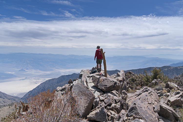
Tom on top of Mount Inyo with Saline Valley below
 |
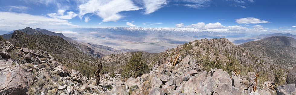
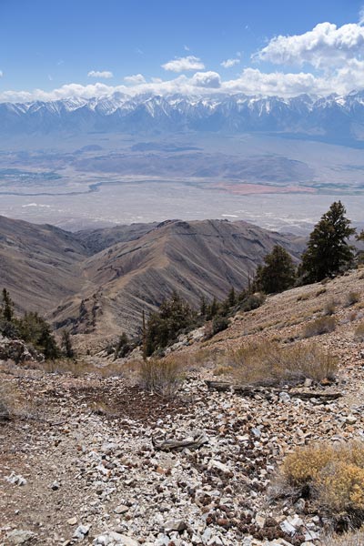
panorama looking westish from Mount Inyo - Keynot is highest point on left
 |
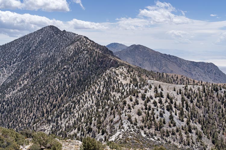
ridge up towards Keynot - Iris was on the gray bump center right
 |
The trail up towards Keynot was a little easier to follow. It was pretty easy for the first part up past some scraggly bristlecone pines, then the ridge got rockier and the trail dropped off down on the NE side and side-hilled along for a while before heading up steep dirt and rocks to the 11101 ft summit. The register wasn't on the actual high point, but a point with a much better view perched over the SW edge. We signed in and saw that Marc and Kim had already been here today. Then Tom headed back the way we came and I continued down the ridge with the plan to drop off down to Forgotten Point.
hawk above
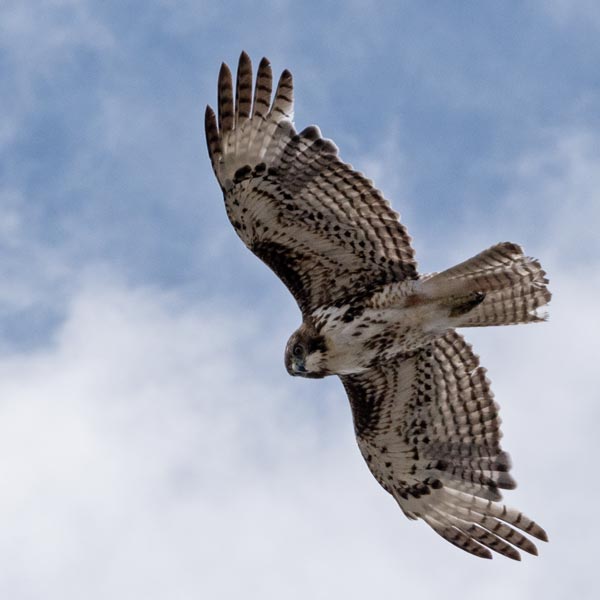 |
bristlecone pine cones
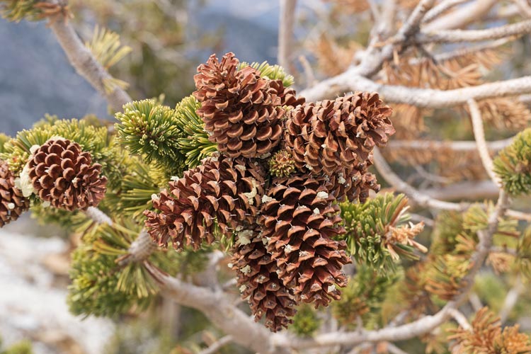 |
some of the rounded ridge - Tom in the left distance and Mt Inyo on rightish
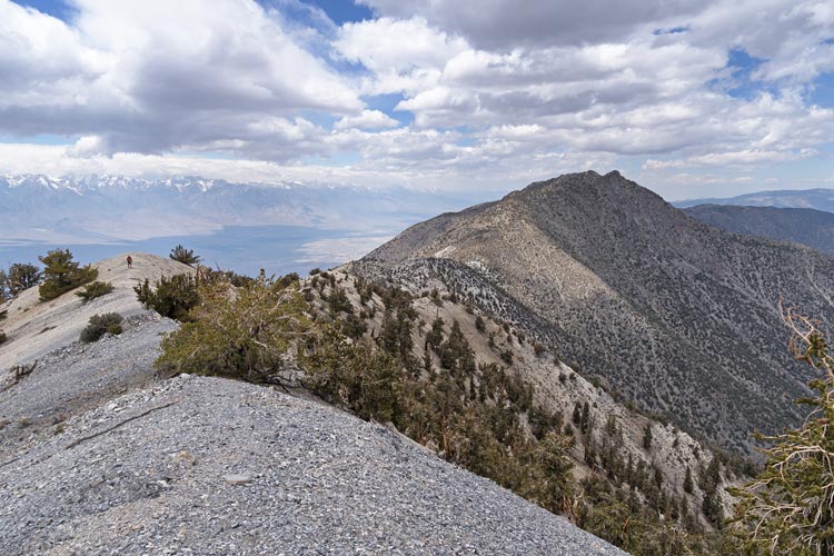 |
bristlecone pine trees overlooking Saline Valley and McElvoy Canyon
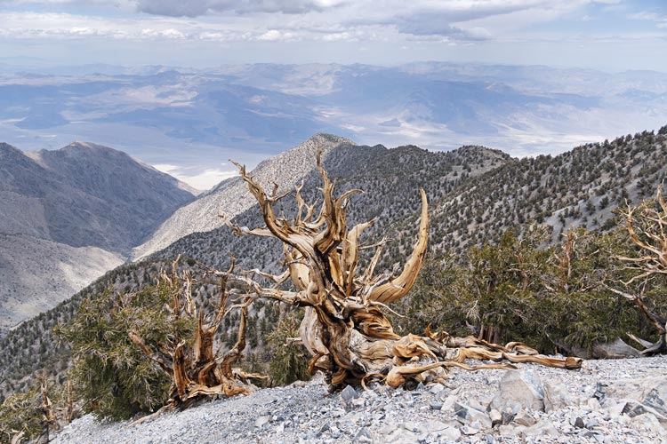 |
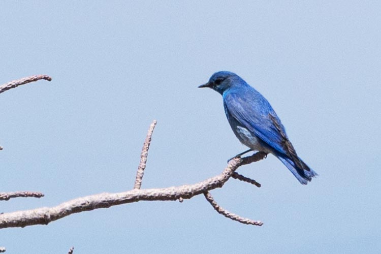
mountain bluebird near the summit
 |
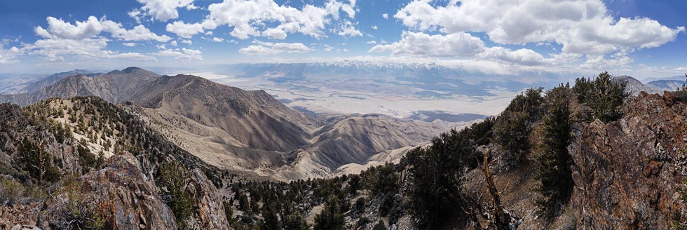
panorama looking south and westish from Keynot Peak
 |
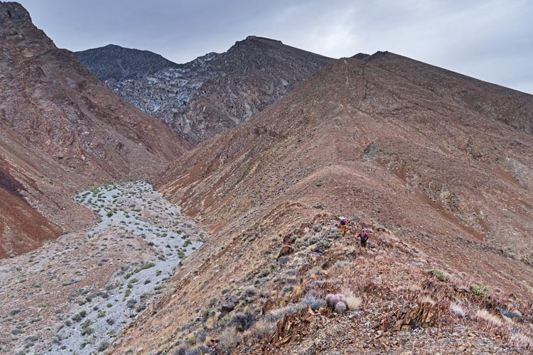
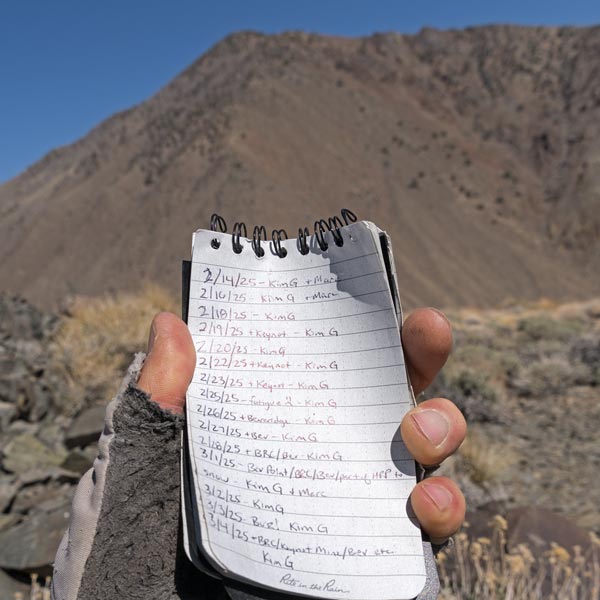
I followed the ridge down a little to the SE and then dropped off to the SW at a likely point (where there was more scree and less cliff). There were some sections with genuine pleasant scree skiing and some with decent larger talus (like golf ball to softball sized) scuffing and then the even less pleasant larger but still loose rocks or the hard packed dirt that would slip every once in a while. I was still glad I was heading down and not up. I wasn't the first to go this way and I did my best to follow the track in the hopes that it would link up the most pleasant parts. Eventually the angle eased a bit and I was on my way out the Forgotten Ridge. That went on for a while and eventually I even headed uphill to Forgotten point. Somewhere in here I wiped my nose and realized it was gushing blood. I stuffed toilet paper in the nostril to stop it. I had a snack and signed in to the register - this one was almost entirely the Kim show with maybe one entry per page that wasn't Kim G. The next section down the ridge was incredibly windy and although the temperature probably wasn't very low I got chilled. I stopped to put on a layer and swap out my hat that was blowing off or into my face. Soon the wind eased again and I got too hot. I stopped to take off the layer and then continued bombing down the ridge. I stopped to check which one of 2 ridges I wanted to go down and realized I had left my little pack with my phone when I took off the layer. DOH. It was much slower heading back up, but I probably only wasted 10 minutes or so returning to it.
heading down towards Forgotten Ridge
 |
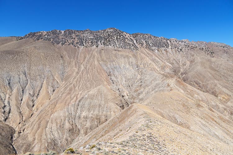
view from Forgotten Ridge up towards Keynot
I came down the gap in the trees right of peak and then down the ridge
 |
Kim dominating the Forgotten Point register
 |
I continued on down the seemingly endless ridge until the final steep part down to the wash - there I saw Tom B down below on the road, he was going to beat me back. I hustled down the trail as fast as seemed safe and then semi-jogged down the wash to the Jeep. I was probably only 5 minutes behind him - he hadn't changed his shoes yet. After some chips and beverages we loaded the Jeep and headed back to the truck. There we rinsed off with the toasty warm solar heated water. Then we drove south to the paved road and then dropped down into the Panamint Valley where we would spend a warmish night. I cooked dinner in the back of the open truck to take advantage of the wind blocking.
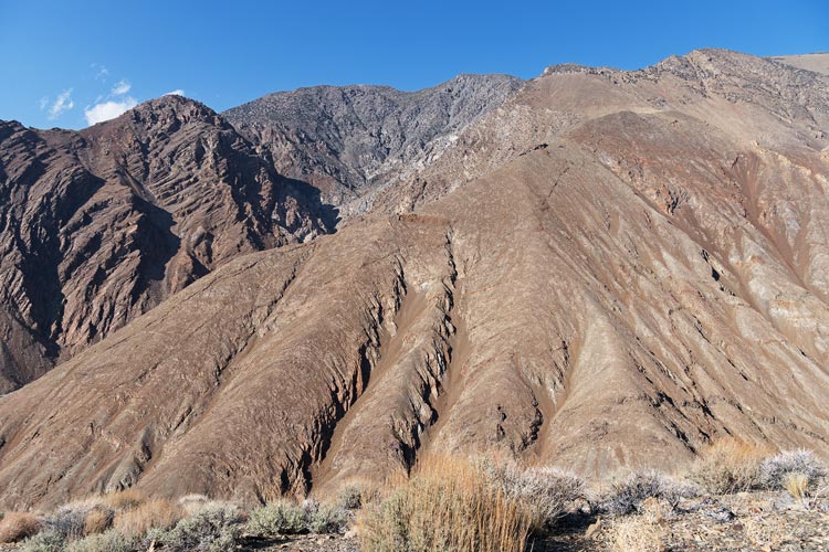
some of the ridge we went up in the morning
back in 2016 Iris descended the scree chutes below Mount Inyo top center ish
 |
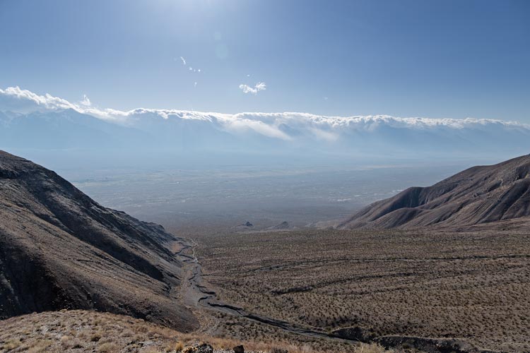
last bit to descend while clouds pour over the Sierra
Jeep is dot in wash
 |
Strava page for Inyo, Keynot, and Forgotten Point. 05-17-2025
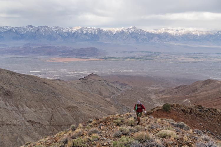
2025-05-18 Another earlyish morning had us loading into the Jeep and driving up over Town Pass and then cutting back on a sandy dirt road (would not have been good in the truck) across the desert and then up Cottonwood Canyon. This had some nice canyony bits and the road had been recently graded but still had some rocky and soft sandy sections. We saw Cottonwoods near where we would park and there even was some water running down the canyon before soaking into the sand. We went a short distance up the canyon before exiting up a side wash. This headed up towards our destination peak. We left the wash to go up the ridge on the side frightening a large covey of quail. Team Tom was somewhat tired today and Iris took the lead as we headed up the ridge. It was warm in the sun but at least there was a little bit of a breeze. The route wrapped around following the ridge up to the 5890 ft summit block. We signed in, took pics, and took a break. Then we headed down.
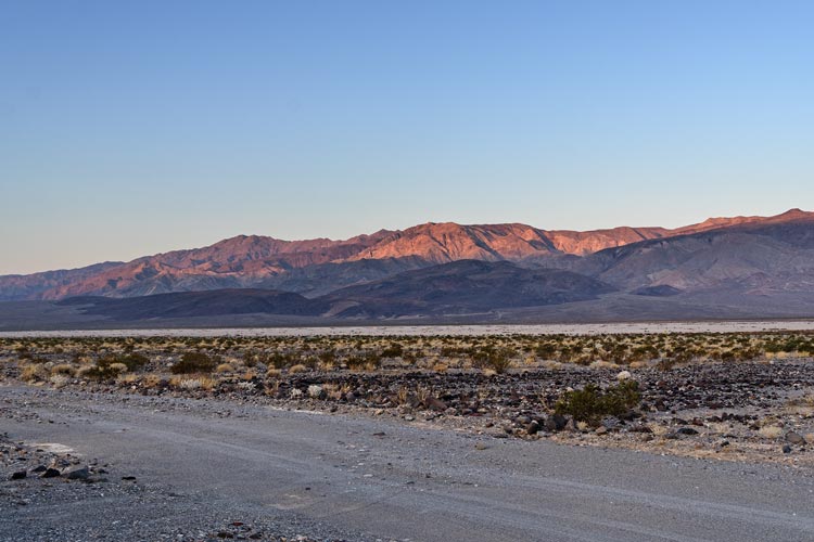
morning light on the Argus range from the Panamint Valley
 |
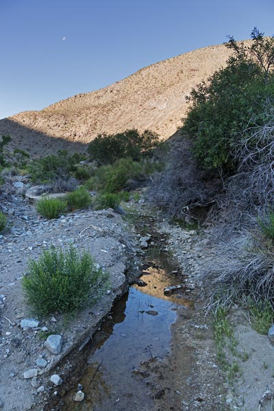
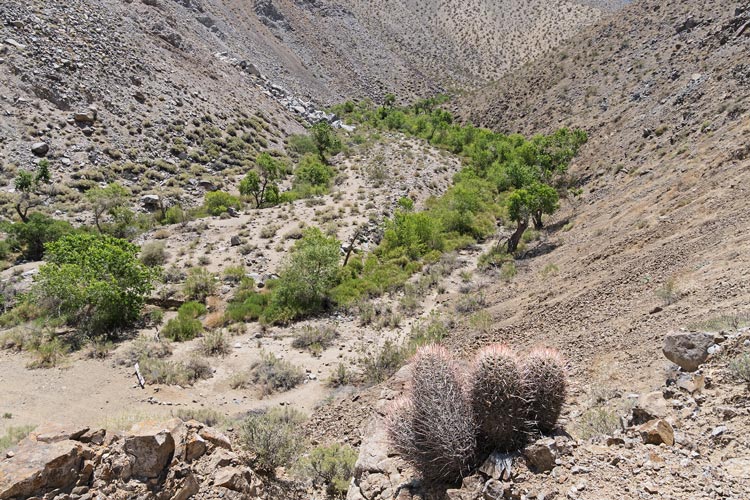
water in Cottonwood Canyon
 |
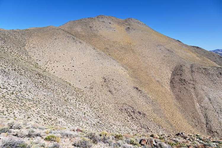
Canyon Point
 |
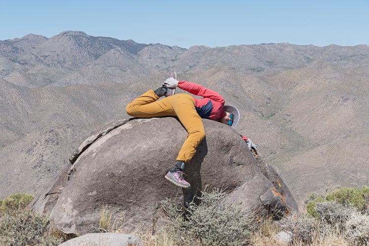
Iris stretching on Canyon Point
 |
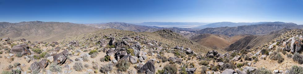
panorama from Canyon Point - Death Valley is rt of center, Telescope is hiding on the right side
 |
The descent was much more pleasant - a huge sandy slope covered in wildflowers. We did have to steer in between the rock outcrops and avoid the bigger clumps of plants but mostly we just bombed on down much faster and easier than going up and much much easier than if we had headed up the sandy slope instead of the ridge. Once back in the canyon bottom dumped all the sand that had filled our shoes and then we followed the drainage down past our exit point and down to Cottonwood Canyon and the Jeep. We returned to the truck and sadly parted ways. The others headed S through Trona and I went back to Bishop.
Canyon Point slope and the ridge we came up
 |
Iris descends
 |
Cottonwood Canyon
 |
Strava page for Canyon Point. 05-18-2025
No material on this page may be copied or used without permission.